
In the early days of Different Spokes in the 1980s we had an actual club library. This was pre-Interent. If you were interested in a ride, you could look at our collection of guide books, some specialty cycling maps, our diverse collection of AAA maps, and a wad of cue sheets and xeroxed maps with routes outlined with Magic Marker. Or you could talk to someone in the club about a ride because we had monthly in-person meetings! The boxes of books, binders, and paperwork—our “library”—were brought to each meeting. This wasn’t too hard because they were stored in the back of the Park Branch library on Page Street where we had our meetings for many years. We simply lugged them out just before the meetings started and spread them out on a table. Later the library was closed for a prolonged renovation and we had to move our meetings to a new home. We relocated to the Metropolitan Community Church in the Castro, and without a store room we had to lug them to and from the meeting room. How do I know this? Because the library was kept in my old garage! And guess who was in charge of the library?
For those who wanted to lead a ride, this ‘primitive’ way of researching rides was actually pretty good. Print books almost always had accurate information if eventually outdated and you could talk to someone who had perhaps ridden the route if you hadn’t and could give you an idea of what you might encounter. But books are updated infrequently if at all and the information can go stale. Is that road still open? No way a book is going to help you with that.
Fast forward forty years and the club has a very different tool for ride research and creation: RideWithGPS. New guide books are a rarity and even AAA has closed its mapping division. It’s all Internet and GPS mapping now. So whether we like it or not, the new reality is Internet and computer based maps and guidance. New cars often come with GPS systems and even if they don’t, people are using their phones with Google or Apple Maps. So it is with cycling. In the Bay Area I haven’t seen a cyclist with a paper map in many years—just whip out your phone and look at a map application. I don’t miss the old days because now there is a thousand-fold increase in information about riding and routes on the Internet compared to print books. Whereas so much of route information had to be transmitted orally before—i.e. you had to meet someone who had already ridden a route—there is so much more information available digitally. And it’s often up-to-date and very detailed.
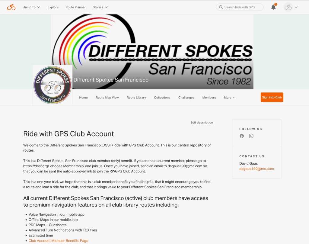
As a member of Different Spokes you have access to our club RWGPS library as well as many of the features of a premium account—it’s part of your membership fee!
Next up: What is RideWithGPS and how can it help me?
